Yosemite Extreme Panoramic Imaging Project
The problem
The National Park Service needed imagery of Yosemite Valley detailed enough to analyse rockfall and geology across 16 miles of cliff face.
The approach
Coordinate a large field team on early robotic panorama heads, treating the valley as one continuous capture rather than a set of viewpoints.
What was built
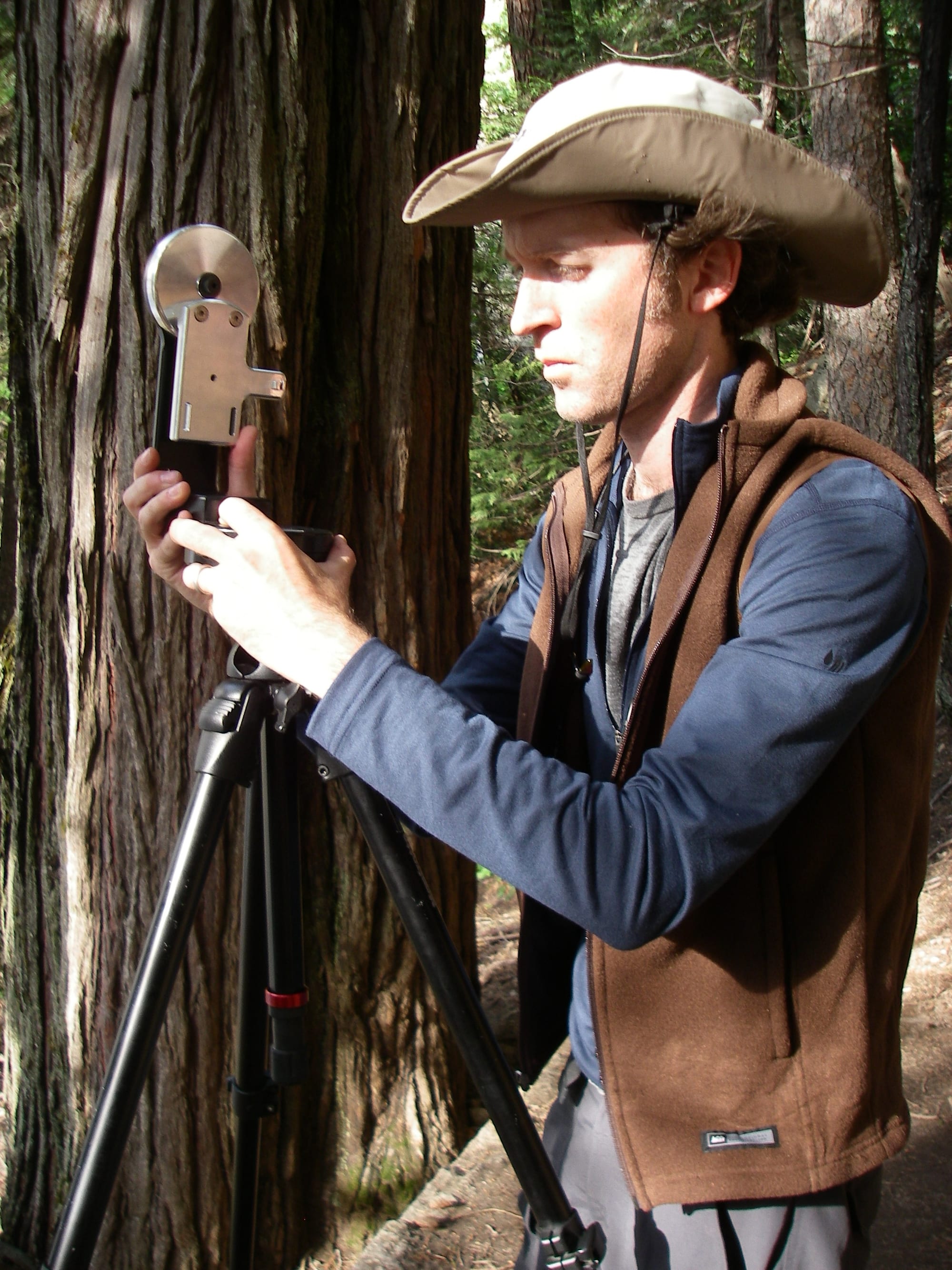
Roughly 20 teams and 55 photographers shot about 10,000 frames on GigaPan robotic heads — at the time one of the largest coordinated panoramic captures attempted.
The outcome
Delivered geological analysis data to the NPS. It is also where Gavin's entire panoramic career began.
In 2008, while studying at the Gnomon School of Visual Effects, two teachers invited Gavin to join the Yosemite Extreme Panoramic Imaging Project — a massive-scale capture effort led by Eric Hanson and Greg Downing of xRez Studio, working with Yosemite geologist Dr. Greg Stock, built to give the National Park Service data for rockfall and geological analysis.
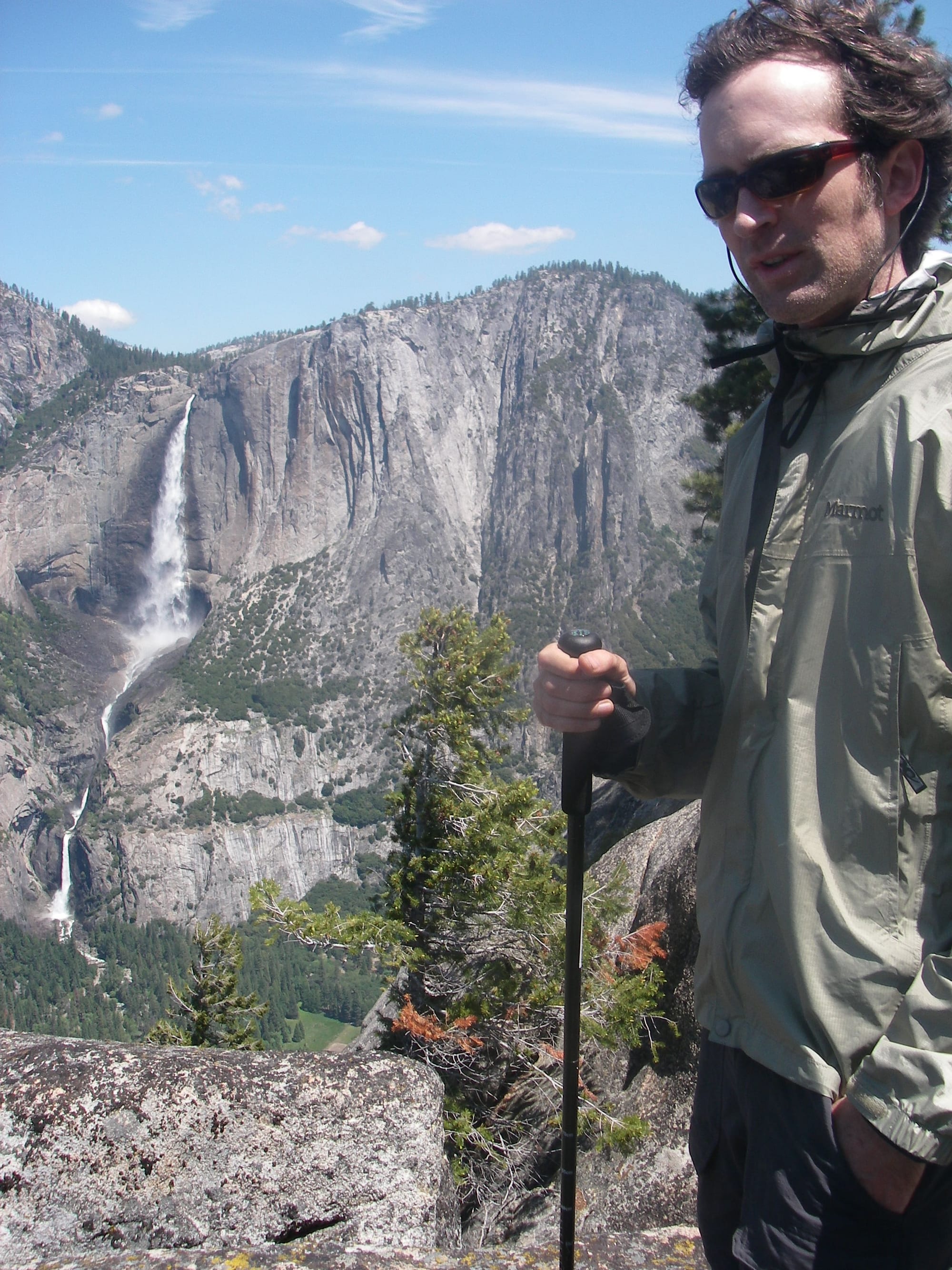
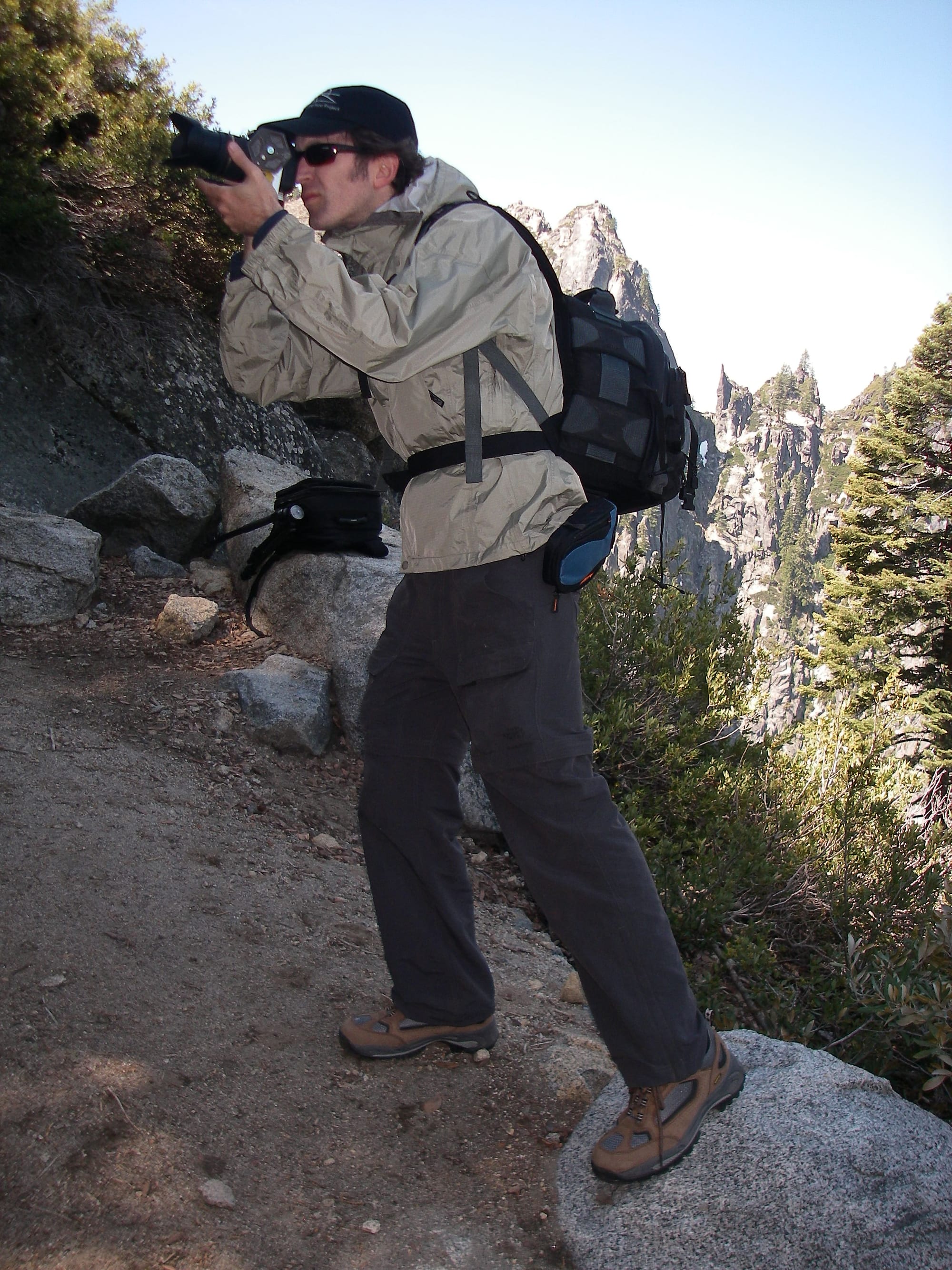
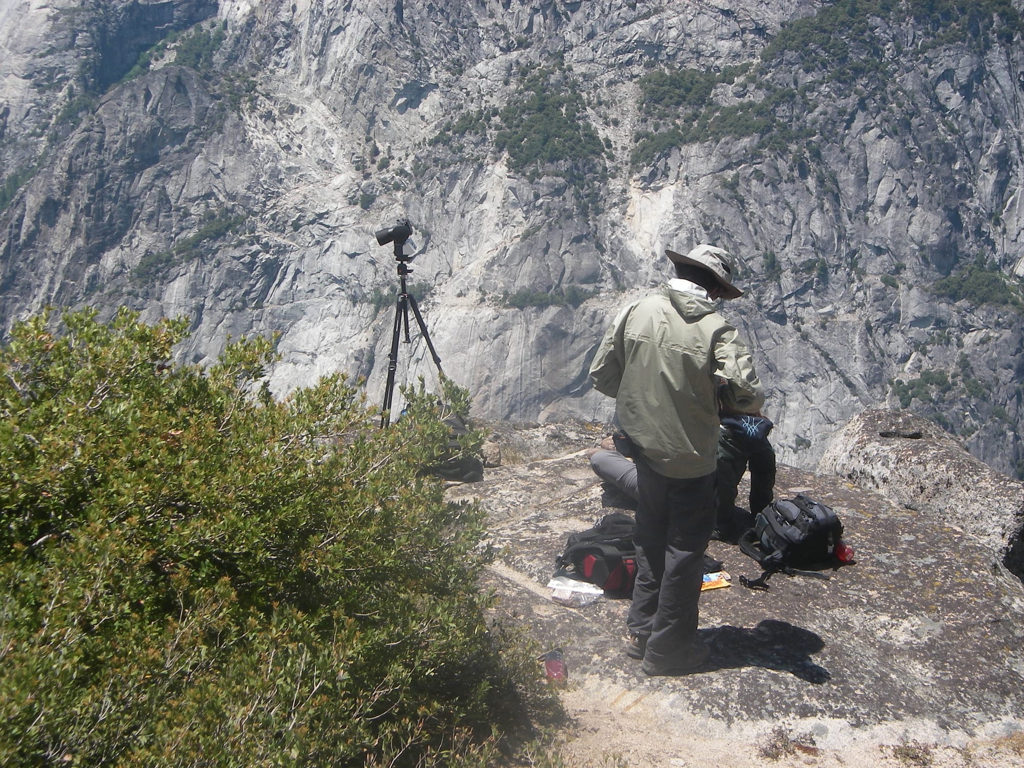
Around 20 teams and 55 photographers shot roughly 10,000 frames across 16 miles of Yosemite Valley on early GigaPan robotic heads — at the time, one of the largest coordinated panoramic capture efforts ever attempted.
GigaPan’s own photographer spotlight confirms it directly: “In 2008, as an honoree member of Visual Effects company xRez, he was an integral team member in the creation of the Yosemite Extreme Panoramic Imaging Project.”
This is the project that started everything that came after — the Flickr blog covering his early panoramic work put it plainly: “Gavin started taking panoramic photos in 2005, when he was studying at the Gnomon School… Two teachers invited him to be part of the Yosemite Extreme Panoramic Image Project.” Gigapixel, VR, and every large-scale capture project since traces back to this one.
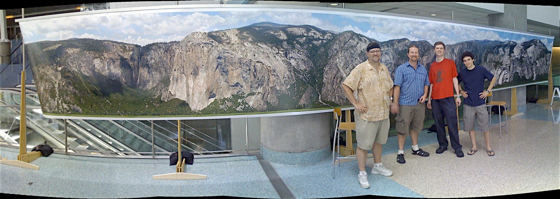
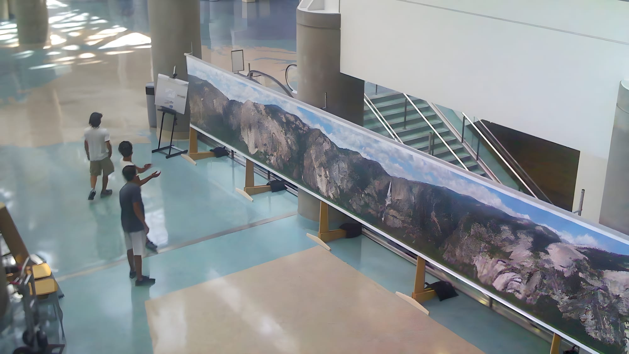
The finished panorama was printed at building scale and exhibited at SIGGRAPH 2008 — a physical print running the length of a convention-center atrium, visitors standing beside it for scale. The same xRez team also rigged a hang-glider with two offset cameras shooting continuously over Yosemite Valley, feeding Microsoft’s Photosynth engine to reconstruct the valley from the air — a related, separate capture experiment by the same collaborators, not part of the 20-team ground survey itself.
Footage of the valley itself — the same cliff faces the twenty teams spent weeks covering — plays below.
Integral team member, Yosemite Extreme Panoramic Imaging Project.