St Johns Bridge — Portland aerial panoramas
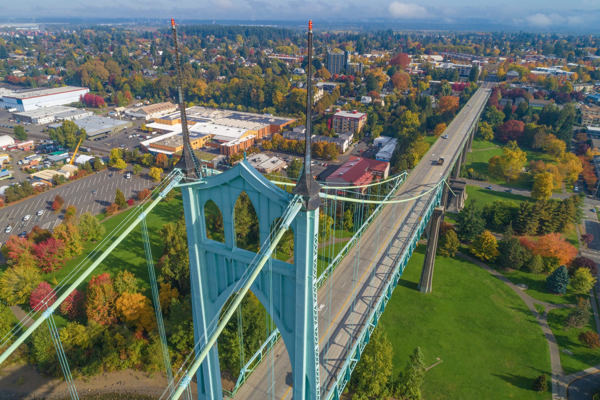
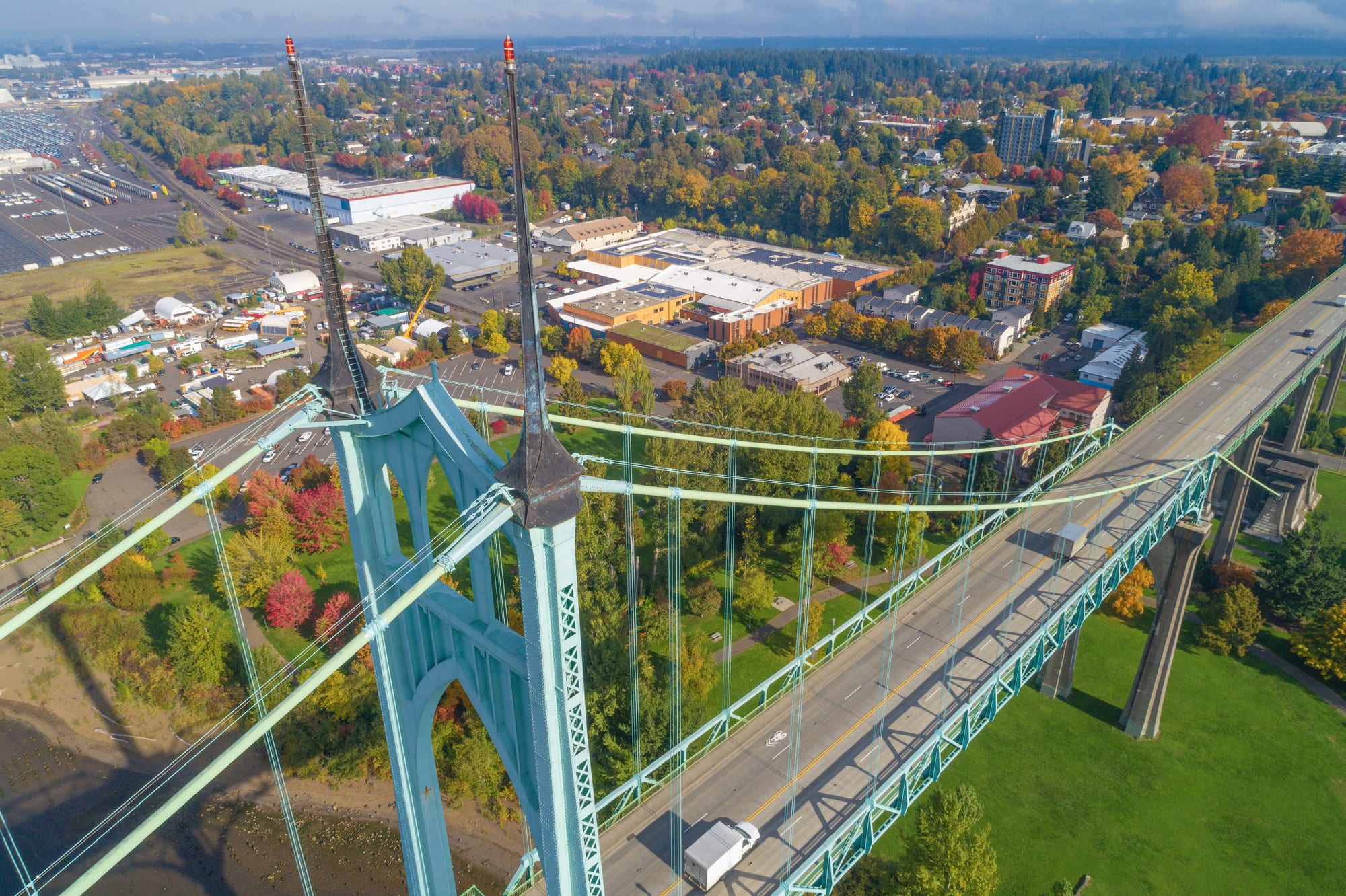
The St Johns Bridge is the Portland landmark that photographs badly from the ground. Gothic towers, a green that reads differently in every light, and no single viewpoint that holds the towers, the span and the setting at once. In October 2021, in the week the colour peaked, Gavin flew it. Thirteen finished spheres came out, each one 22,878 pixels across. Nobody asked for them. Nobody has seen them.
From the air and in a full sphere, the problem solves itself. The bridge sits across the middle distance, the river runs green underneath, Forest Park turns on one side, Cathedral Park sits below the towers, and the city and the hills step away behind. You are not looking at a picture of a place. You are standing in it.
The capture ran 19 to 22 October 2021. Fourteen positions were flown, numbered in sequence, each
producing roughly thirty-four RAW frames in a grid — 476 originals in total, with matching 16-bit
conversions and thirteen PTGui stitch projects beside them. Thirteen positions were carried through
to a finished render, 0678 through 0690, each a 2:1 equirectangular at 22,878 × 11,439 pixels
and about 75 MB.
The set is broader than the folder name admits, and this matters for anyone writing captions. Frames inspected from the renders include the suspension bridge with its twin towers and full span; a white cable-stayed crossing over green water with autumn trees on the near bank; and a light-rail bridge curving into the foreground with the downtown skyline behind it. This is a survey of Portland’s river crossings that has been filed under the name of the most famous one.
There is no client. No brief, no delivery folder, no invoice, no correspondence anywhere in the tree. Eleven hundred and ninety-two files that are entirely capture, conversion, stitch and render, with nothing wrapped around them. As far as the archive shows, this was flown because the light was right.
One reason it sat unnoticed for four years is worth recording as a general lesson. Every automated pass over this folder classified it as stitch source — a thousand-odd sequential DNG frames — and skipped it. The finished output was one directory deeper. A folder full of source frames can still contain the delivered work.
What Gavin did
- Planned and flew fourteen aerial positions over the Willamette across four days in October 2021, under his FAA Part 107 licence
- Shot 476 RAW frames in overlapping grids, roughly thirty-four per position
- Converted, stitched and finished thirteen of them into 22,878 × 11,439 equirectangulars
- Kept the thirteen PTGui projects, so the whole set is reproducible from the originals
Working alone, with no commission and no delivery.
Self-initiated — no client, no brief, no delivery